서울암사정수장

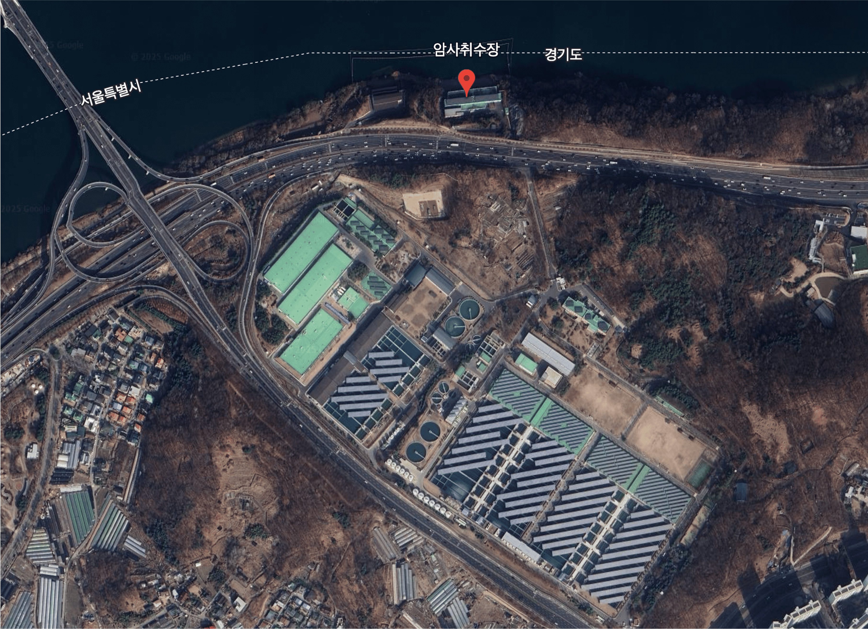
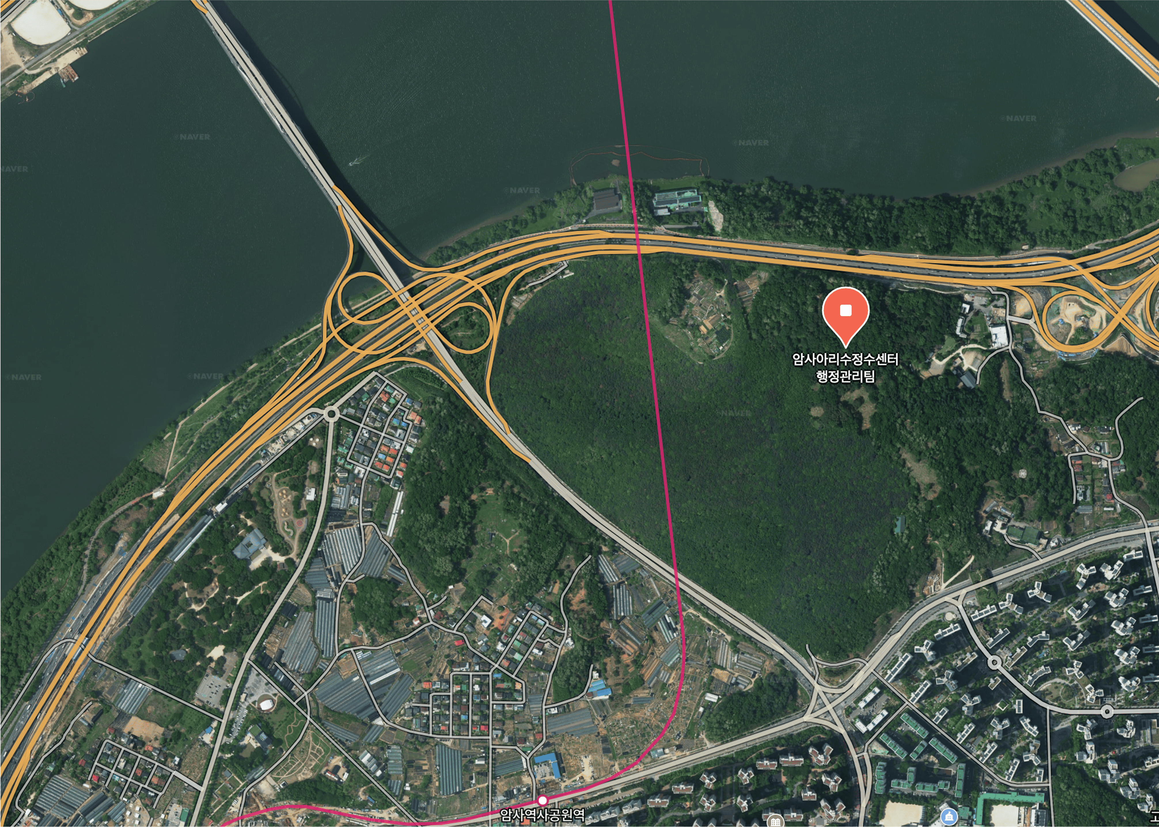
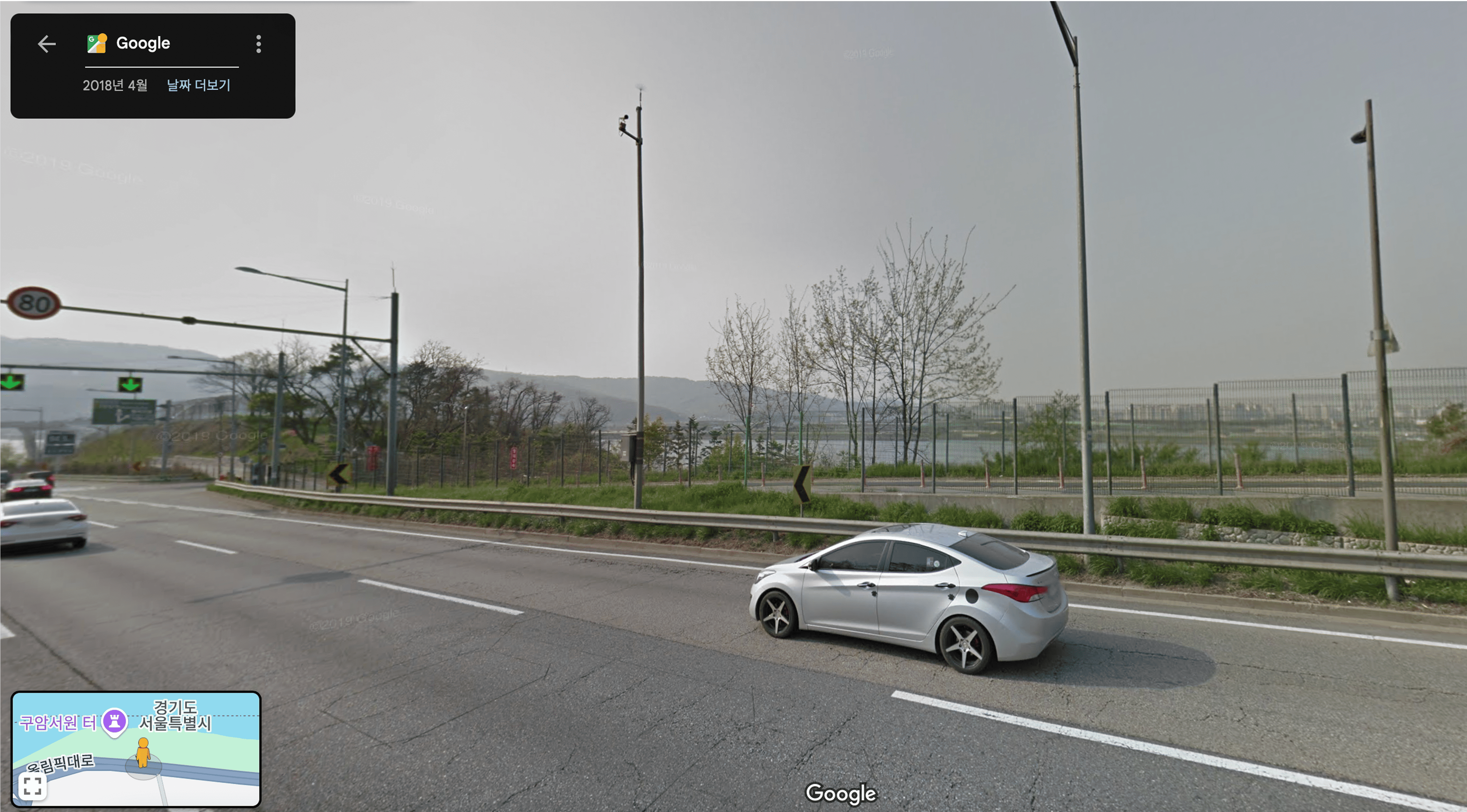
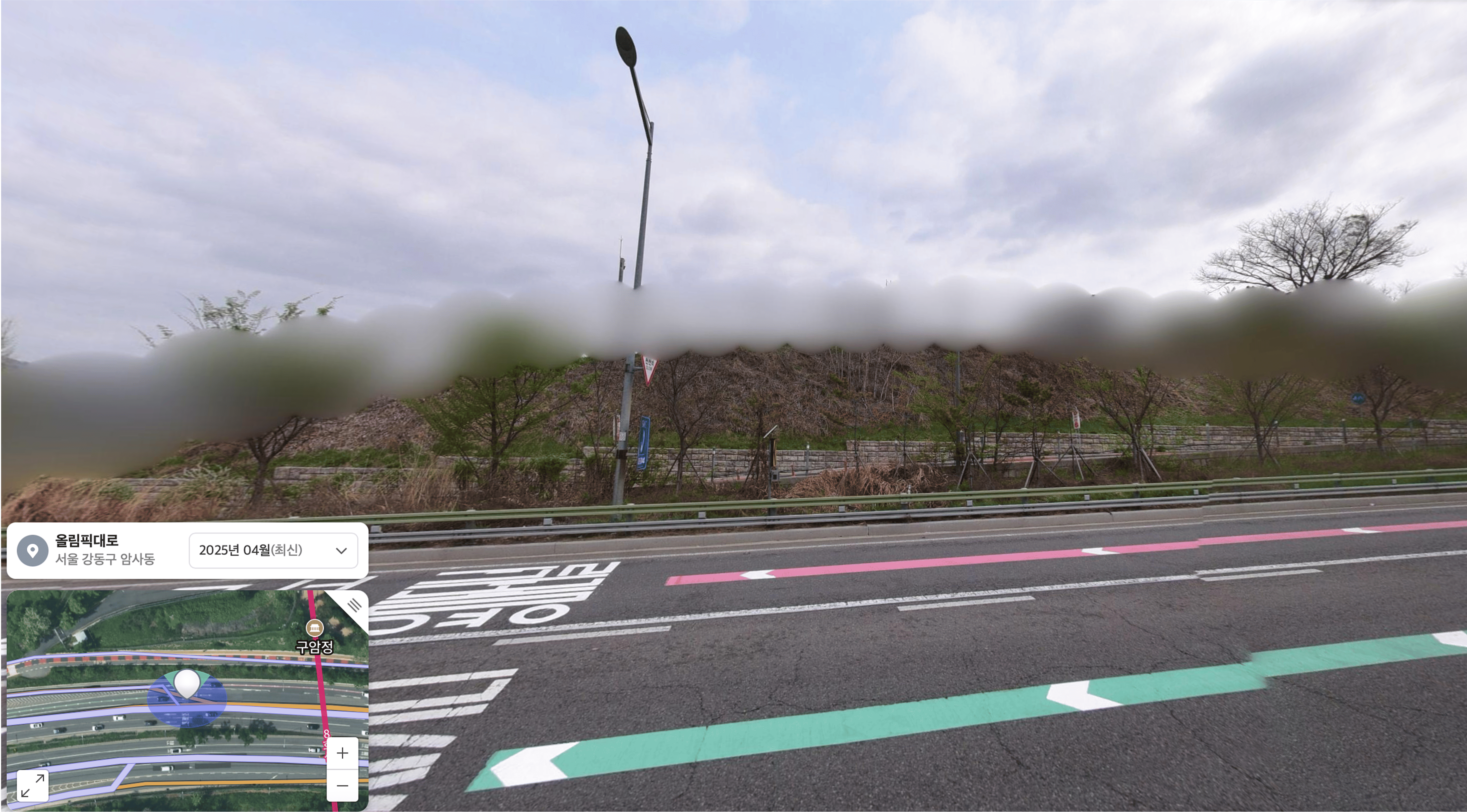
서울 암사정수장은 한강 상수원 보호구역 내 위치해 있어, 국내 지도 서비스에서 상세 이미지나 구조가 흐릿하게 처리된다.
이는 단순한 수돗물 생산 시설이 아니라, 서울 동부 수백만 명의 생존과 직결된 기반시설이기 때문이다. 「국가보안시설의 지정 및 운영에 관한 규칙」 제4조에 따라 제2급 국가중요시설로 분류되며, 테러 및 위협 대비 차원에서 위치·구조 노출이 제한된다. 과거에도 이 일대는 촬영이나 드론 비행이 금지되었으며, 지도에서의 흐릿한 처리는 단순 편집이 아닌 보안 프로토콜의 일환이다.
시민의 일상 한가운데 존재하지만, 의도적으로 가려진 이 공간은 도시의 ‘숨겨진 심장’이라 불릴 만하다.
The Amsa Water Purification Plant in Seoul is located within the Han River water source protection zone, and its detailed images or structures are blurred on domestic map services.
This is not just a simple water supply facility—
it is a vital infrastructure directly connected to the survival of millions in eastern Seoul. According to Article 4 of the "Regulations on the Designation and Operation of National Security Facilities," it is classified as a second-class key national facility, and its exposure is restricted for counterterrorism and threat prevention. In the past, photography and drone flights in this area were prohibited, and the blurred maps are not mere edits but part of a security protocol.
Although it exists in the middle of citizens' daily lives, this deliberately hidden space can be called the city's ‘HIDDEN HEART’.