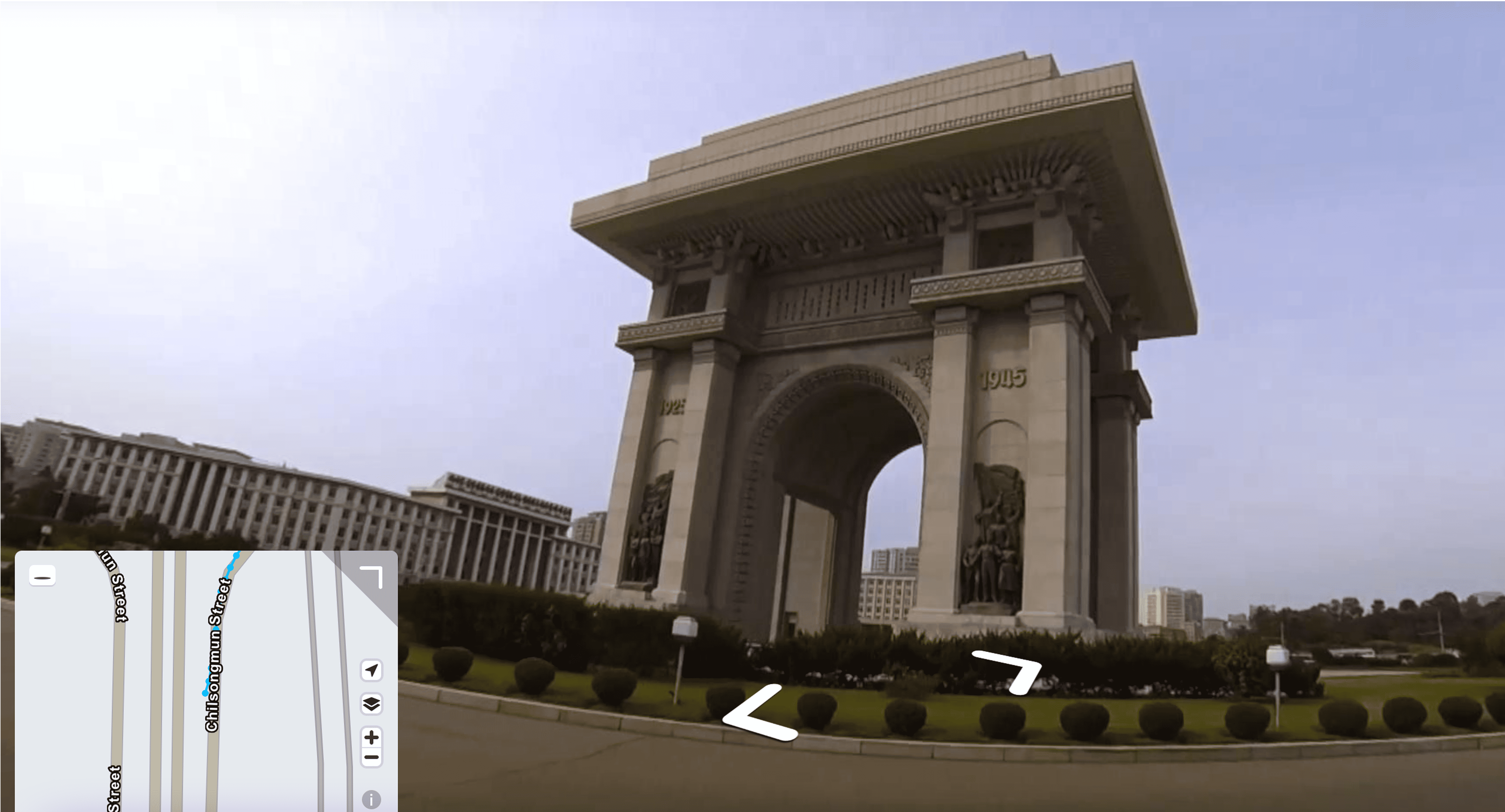
북한

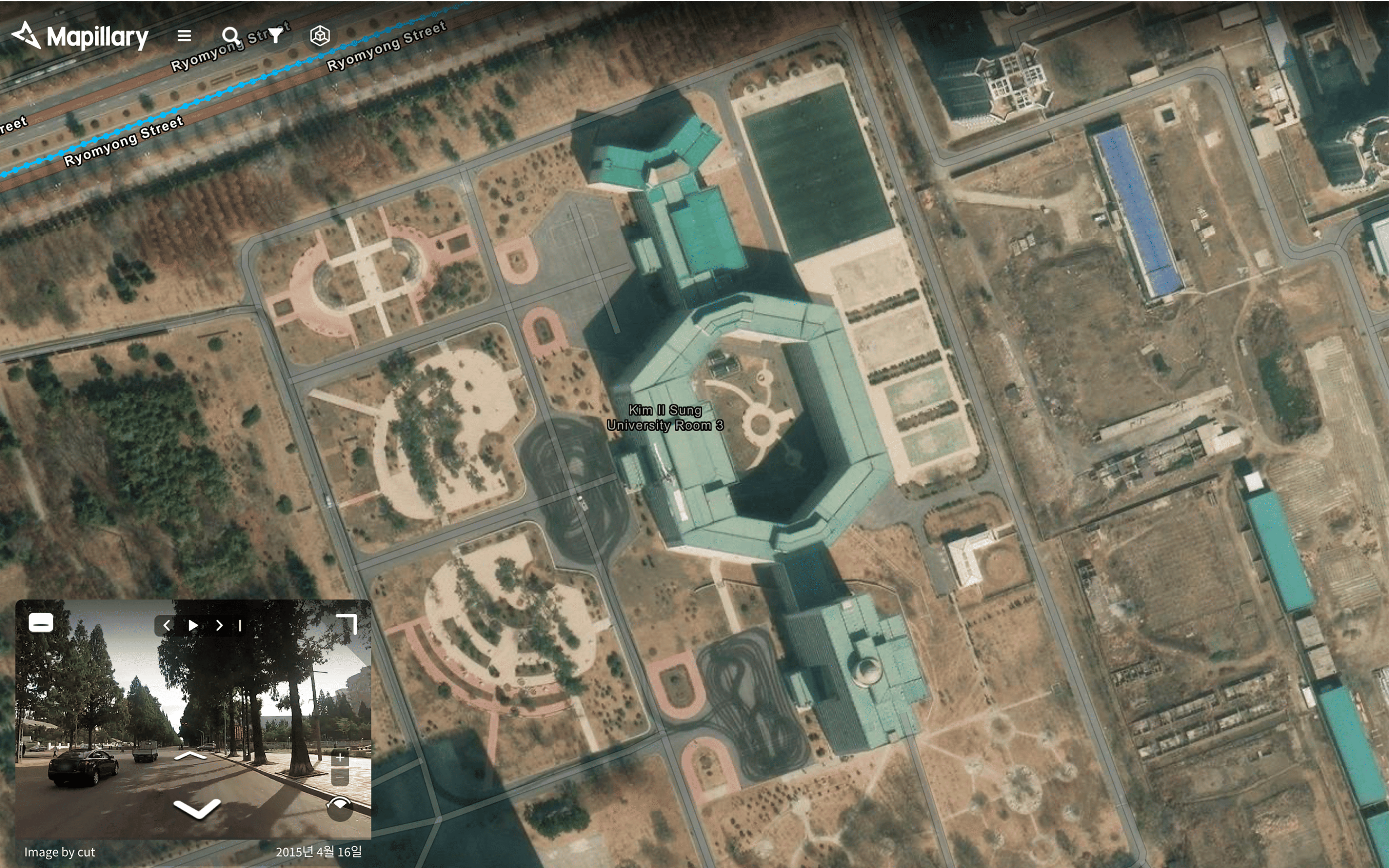
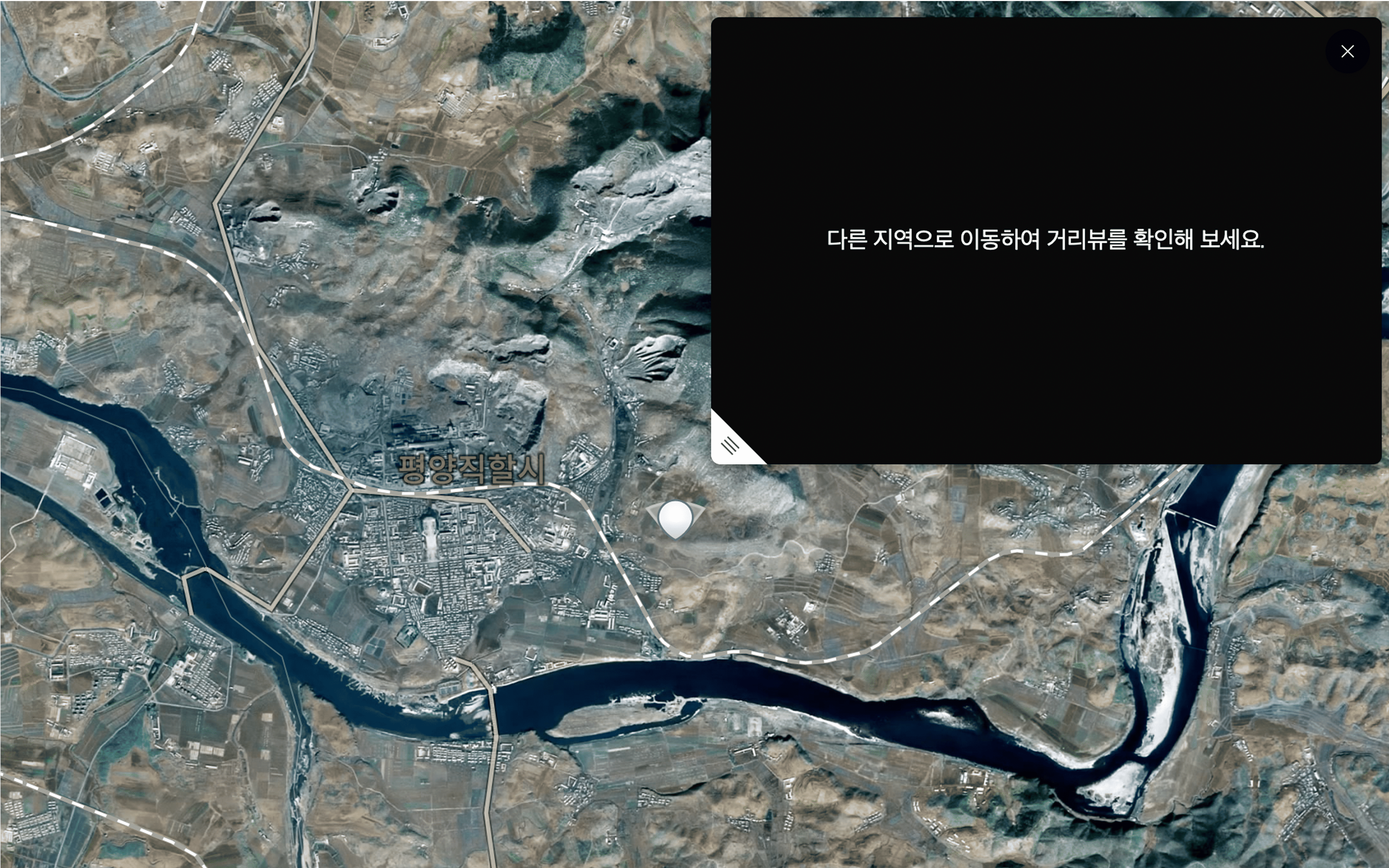
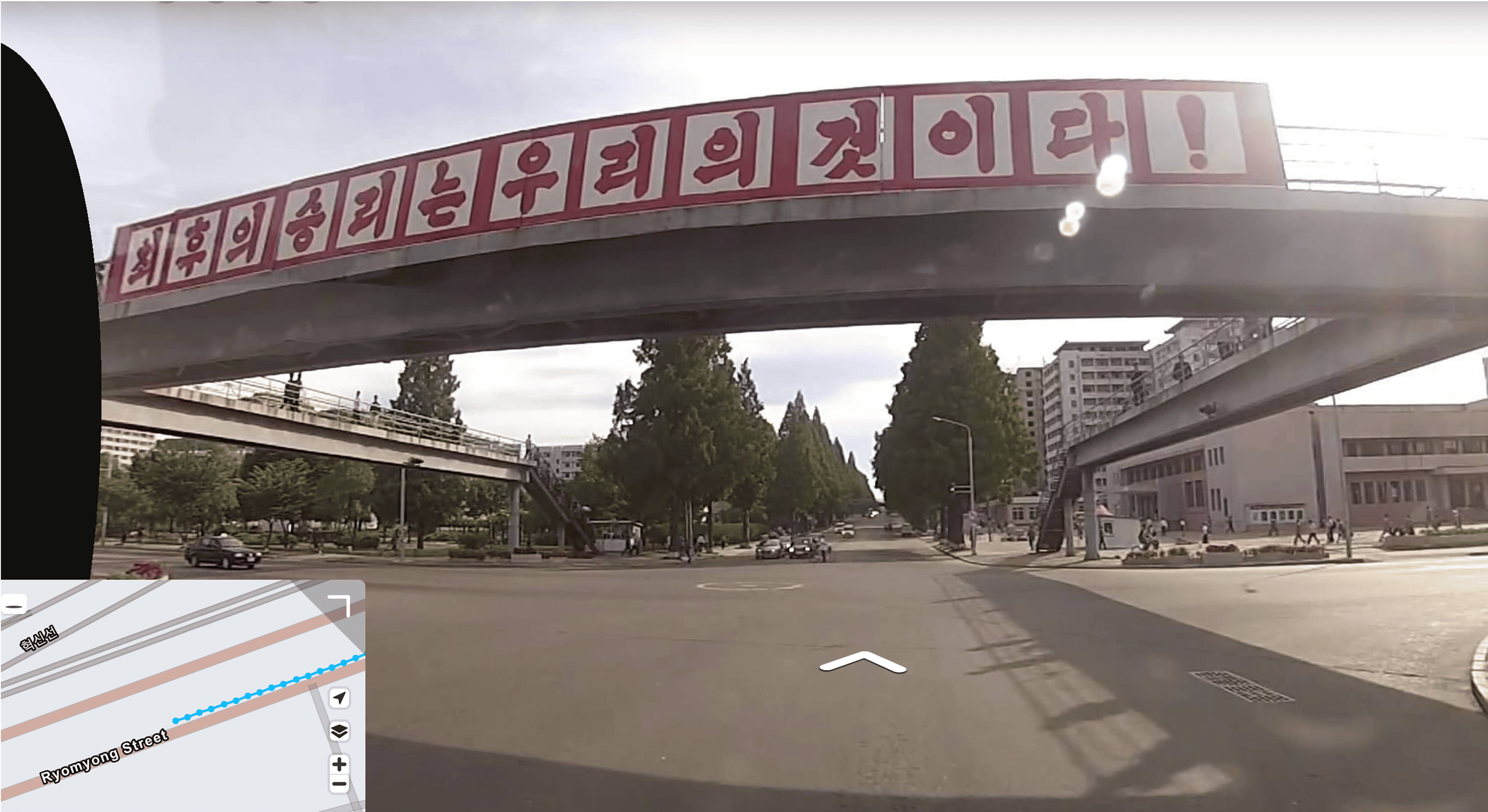
한반도의 북쪽 절반은 한국의 지도 서비스에서 흐릿하거나 아예 생략되어 있다.
이는 「남북교류협력에 관한 법률」 및 남북 간 군사기밀보호 협약에 따라, 민간이 북한 지역의 상세 정보를 보거나 공유하는 것이 제한되기 때문이다. 지도 속 공백은 무지를 뜻하지 않는다. 오히려 그것은 존재하지만 들여다볼 수 없는 ‘봉인된 현실’이다.
금지된 풍경은 늘 현실보다 더 선명한 상상을 자극한다.
The northern half of the Korean Peninsula appears blurred—or entirely absent—on South Korea’s map services.
This stems from the Inter-Korean Exchange and Cooperation Act and military secrecy agreements between the two Koreas, which restrict the civilian viewing or sharing of detailed information about North Korean territory. The blank spaces on the map do not represent ignorance. Instead, they point to a "sealed reality"—a presence that exists but cannot be seen.
Forbidden landscapes often provoke imaginations more vivid than any reality.